Course Details
Tuesday 14th May 24
Elevation
Tuesday 14th May 24
41.85
--
--


2 mi
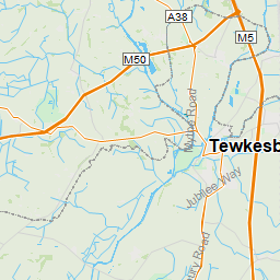
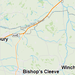
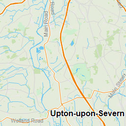
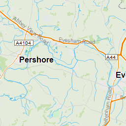
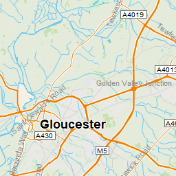
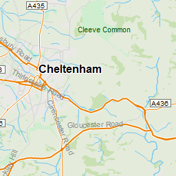
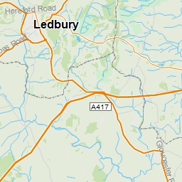
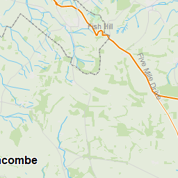
Leaflet © OpenStreetMaps contributors © Garmin Ltd. or its Affiliates
map_settings_label
map_provider_label
OpenStreetMap
legend
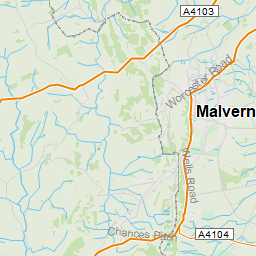
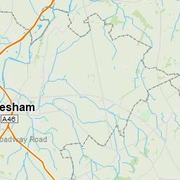
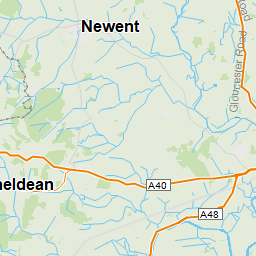
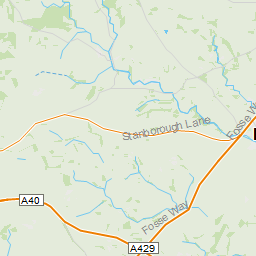
Map Details
course
Hazard
Point
<3%
3%-6%
6%-9%
9%-12%
12%+