25.50 mi
Distance1:35:42
Time16.0 mph
Avg Speed472 ft
Total Ascent

3 km
1 mi
Select a different data overlay for your GPS track
Current overlay: Speed
Current overlay: Speed
73.0°
 3
3
- Feels like 73.0°
- 3 mph NE wind
- 20% humidity
- Source: KPSP
Slower
Faster
Elevation
Speed
Distance
25.50 mi
Distance
Calories
1,505
Calories
Timing
1:35:42
Time
1:34:48
Moving Time
1:55:42
Elapsed Time
Elevation
471.8 ft
Total Ascent
465.6 ft
Total Descent
376.9 ft
Min Elev
677.7 ft
Max Elev
Pace/Speed
16.0 mph
Avg Speed
16.1 mph
Avg Moving Speed
24.8 mph
Max Speed
| Laps | Time | Cumulative Time | Distance | Avg Speed | Total Ascent | Total Descent | Calories | Max Speed | Moving Time | Avg Moving Speed |
|---|---|---|---|---|---|---|---|---|---|---|
| 1 | 1:35:42 | 1:35:42 | 25.50 | 16.0 | 472 | 466 | 6,306 | 24.8 | 1:34:48 | 16.1 |
| Summary | 1:35:42 | 1:35:42 | 25.50 | 16.0 | 472 | 466 | 1,505 | 24.8 | 1:34:48 | 16.1 |
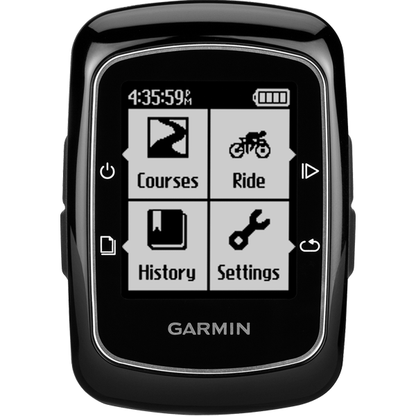
Garmin Edge 200
Software: 2.10
Summary Data: Original