78.85 km
Distance6:32:35
Time12.0 kph
Avg Speed889 m
Total Ascent

5 km
3 mi
Select a different data overlay for your GPS track
Current overlay: Speed
Current overlay: Speed
13.9°
 11
11
- Feels like 13.9°
- 11 kph ENE wind
- 88% humidity
- Source: KSGF
Slower
Faster
Elevation
Speed
Temperature
Distance
78.85 km
Distance
Calories
2,408
Calories
Timing
6:32:35
Time
4:36:13
Moving Time
7:35:06
Elapsed Time
Elevation
889.0 m
Total Ascent
988.0 m
Total Descent
276.0 m
Min Elev
435.0 m
Max Elev
Pace/Speed
12.0 kph
Avg Speed
17.1 kph
Avg Moving Speed
58.9 kph
Max Speed
Temperature
17.9 °C
Avg Temp
9.0 °C
Min Temp
35.0 °C
Max Temp
| Laps | Time | Cumulative Time | Distance | Avg Speed | Total Ascent | Total Descent | Calories | Avg Temperature | Max Speed | Moving Time | Avg Moving Speed |
|---|---|---|---|---|---|---|---|---|---|---|---|
| 1 | 6:32:35 | 6:32:35 | 78.85 | 12.0 | 889 | 988 | 10,090 | 17.9 | 58.9 | 4:36:13 | 17.1 |
| Summary | 6:32:35 | 6:32:35 | 78.85 | 12.0 | 889 | 988 | 2,408 | 17.9 | 58.9 | 4:36:13 | 17.1 |
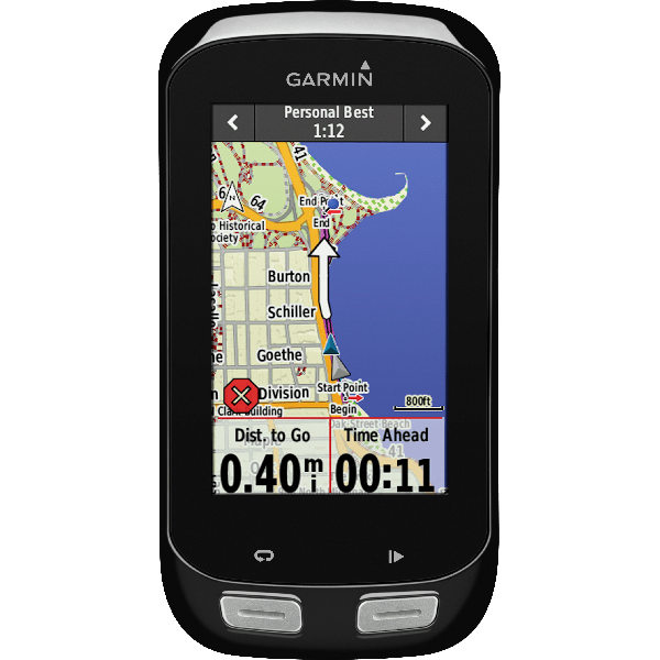
Garmin Edge 1000
Software: 3.00
Summary Data: Original